
News
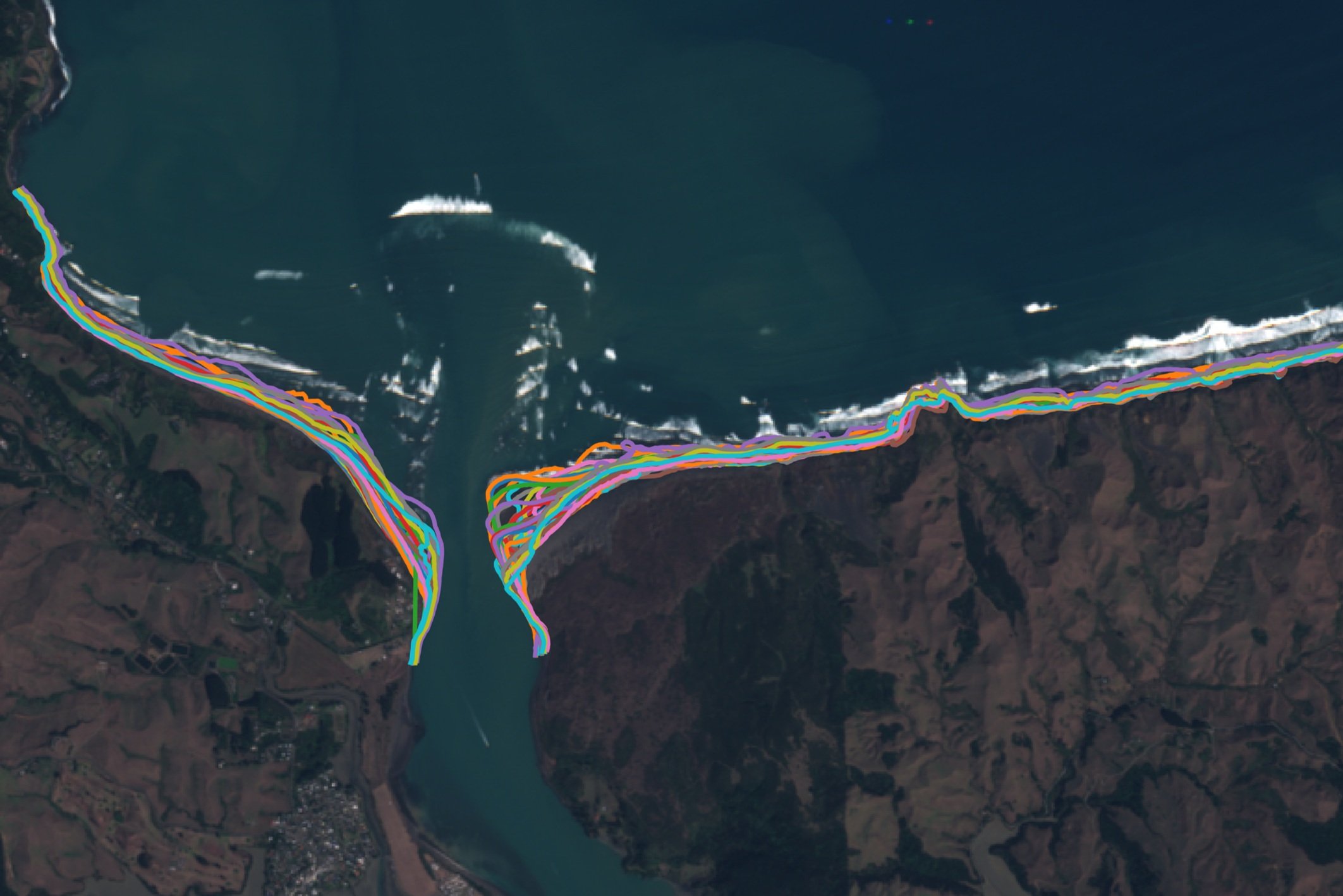
New Zealand coastline mapping using satellite imagery
Globally, coastlines are subject to significant environmental and anthropogenic pressure. To effectively manage and plan coastal use and adaptation, stakeholders need to understand historical coastline variability as well as have visibility on the existing state of the coastline.

New research expands the current knowledge of Aotearoa’s complex wave climate
MetOcean Solutions’ expert oceanographer Dr João Albuquerque recently published a study on wave partitioned hindcast data from New Zealand waters.

Tracking a lost sailing yacht
At the end of October, MetOcean Solutions helped an insurance company find a missing yacht that had been drifting for weeks in the Atlantic Ocean.

Predicting estuarine coastal inundation
At the upcoming New Zealand Coastal Society Conference in Dunedin Dr Brett Beamsley will present recent work from a project with Tasman District Council.