
A tale of two coasts
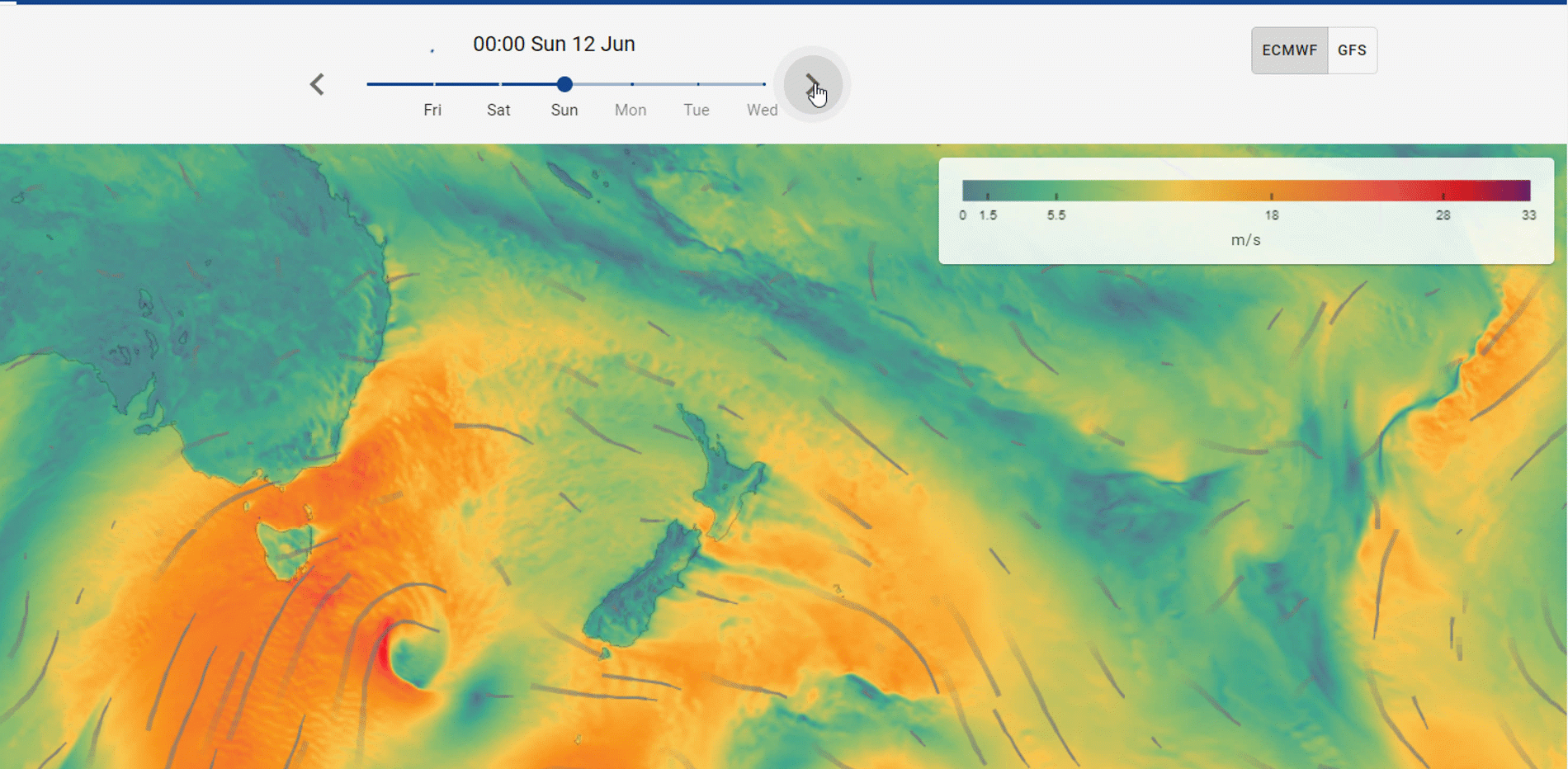
Winter begins to bite, with a series of active fronts and low pressure systems tracking across the country. An energetic low-pressure system brings blustery conditions, rain, and large seas to the West Coast of both Te Ika-a-Māui and Te Waipounamu (the North and South Islands) peaking Monday, while the northern and eastern shorelines can expect far smaller wave heights.
Offshore of the West Coast, significant wave heights (the average of the top 1/3 of waves) are currently forecast to exceed 8 m, with the maximum individual wave height forecast to reach twice this ~16 m. Along almost the entirety of the exposed western shoreline of both islands, wave face heights are expected to be around 6 - 7 m. To compare, at Te-Oneroa-a-Tōhē / Ninety Mile Beach forecast guidance suggests wave height faces exceeding 6 - 7 m, while on the East Coast at Ōtaipango / Henderson Bay wave faces late Monday are forecast to be less than 1 m.


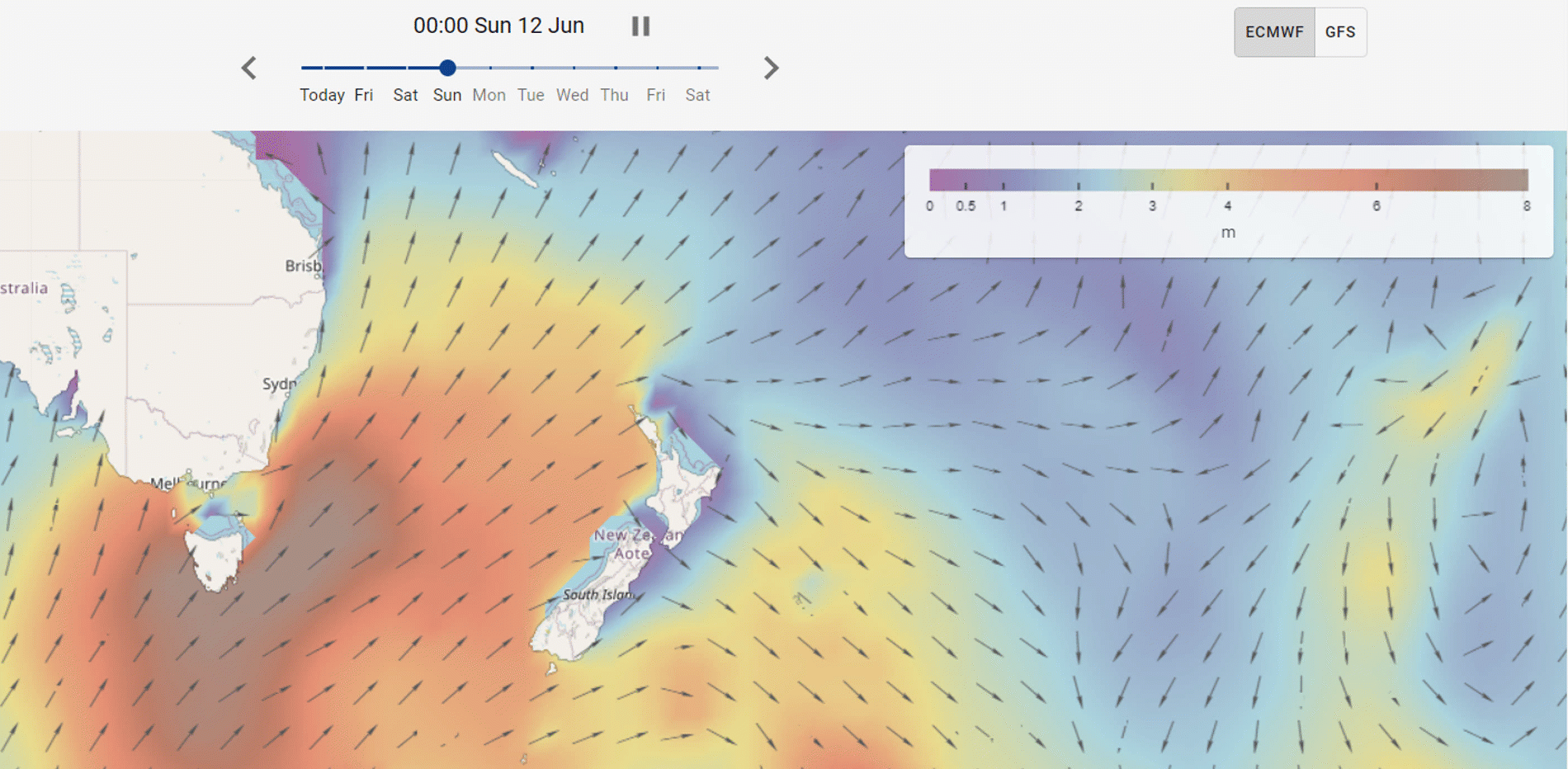
Forecast animations of pressure (top left), rain (top right), wind speed (bottom left) and swell height (bottom right) for 12-14 June available at swellmap.co.nz.
For up-to-date automated New Zealand weather forecasts, see weathermap.co.nz. For in-depth details of the upcoming events, access MetOceanView, our customer portal for delivering a complete environmental forecast system for local authorities and marine operators. Detailed analysis of these unfolding events are available at www.metservice.com .