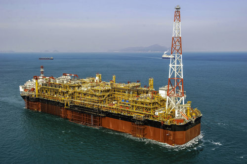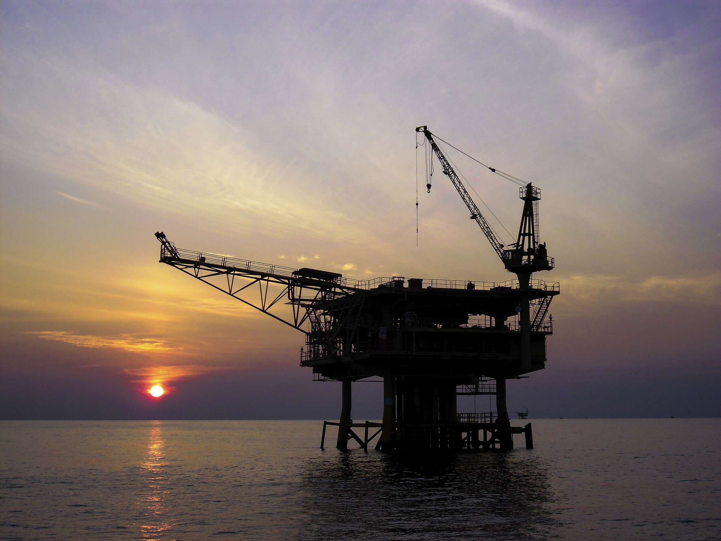
Oil & Gas
Integrated services and solutions.
From coastal, shelf or deep water areas, we provide site specific weather forecast data, hindcasting services and customised solutions for all stages of an offshore project.
Our science team has extensive experience supporting geophysical survey, exploration and construction operations.
Services for every stage of an offshore project

Exploration
High resolution forecasting support.
Weather downtime analysis.

Drilling
Pre-drilling analyses of expected drill-cutting dispersal.
Design stats for riser design and summary reports for rig selection.

Design
Wastewater dispersal modelling.
Metocean design reports: hindcasting, analysis and instrument deployment.

Installation

Operations

Demobilisation
Metocean workability criteria for offloads and installation.
Route forecasting.
FPSO heading optimisation and response.
Emergency response oil spill modelling.
Workability criteria and weather downtime analysis.
Route forecasting.
MetOcean Solutions offers end-to-end guidance to support offshore geophysical surveys, marine logistics, exploration and production operations.
Site reports
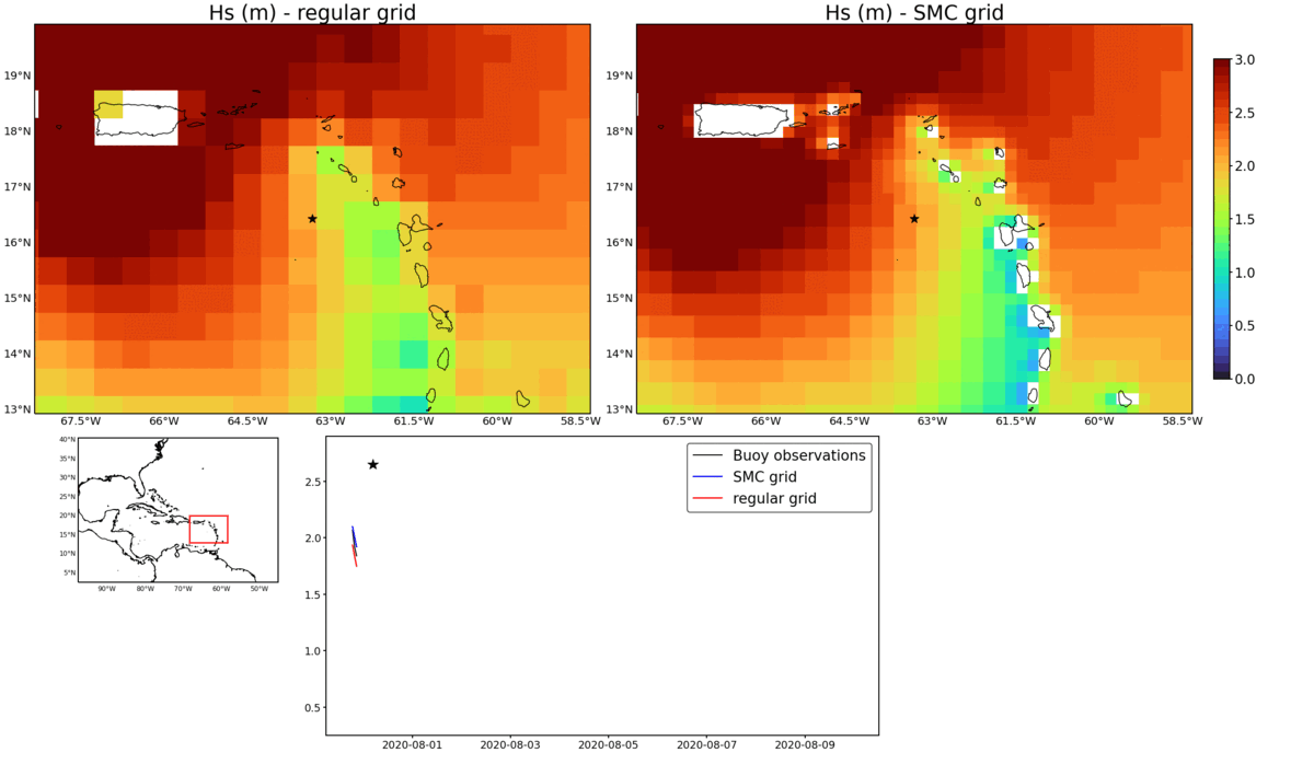
Metocean site reports provide a detailed assessment of the oceanographic and meteorological conditions at the exact location of interest. Based on high quality hindcast information reaching back to 1979, a rigorous analysis of the waves, winds and 3D currents is supplied for guidance on rig selection, riser and anchor design, WOW estimates and other operational aspects as required.
Weather downtime analysis
Downtime analysis uses a sophisticated time-domain technique to simulate complex project schedules through multiple years in the hindcast database. This provides a reliable statistical basis for downtime estimation and effects of project slippage on completion.
Specialist marine weather forecasts
Receive customised guidance optimised for the project location. Our services include automated forecast updates 4 times per day and derived guidance products such as workability, hazard warnings, kinematics, vessel motion and real time oil spill trajectory
Oil spill trajectory studies
We model oil spills for coastal, shelf and deep water locations using state-of-the-art modelling technology. Long timeseries simulations provide robust impact assessments on weathering, dispersal and potential beaching outcomes.
Dispersal of drill cuttings
Dispersal is simulated using a particle tracking model within hindcast 3D current flow fields. The settlement probability density of each particle size fraction is calculated along with the expected depositional footprint for a drilling campaign.
Real time weather monitoring
Weather monitoring during offshore operations is provided as required and can be interfaced with the weather forecast information.
MetOceanView
MetOceanView is our online customer platform through which we deliver accurate, high quality marine weather forecasts and historical data for a range of offshore operators all over the world.
News and case studies